![]()
|
 |
These pages are not substitute for the use of guidebooks and maps for the hikes. ______________________ To ensure you have a safe hike and enjoy the GR and its landscapes, use the Alpina maps and guides
|
 |
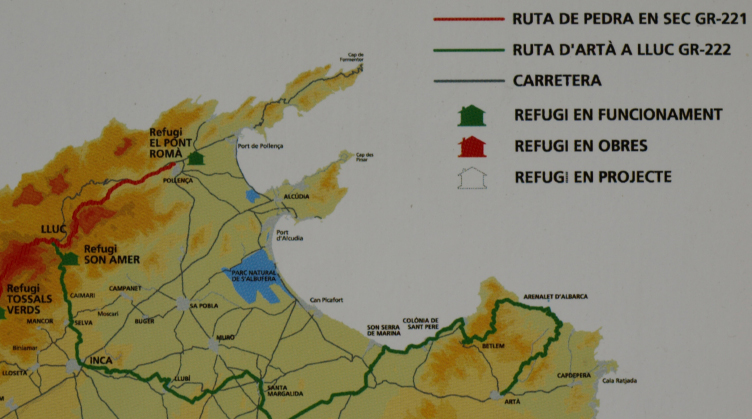
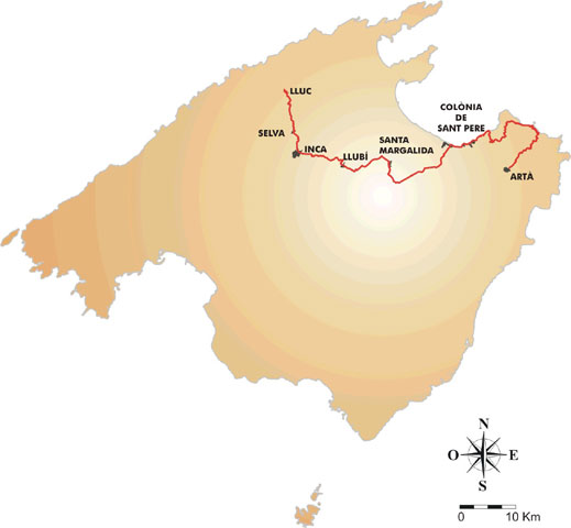
►GR 222. Route Artà - Lluc
This long-distance trail will connect Artà (in the northeast of Mallorca), the ‘Península de Llevant’ nature park, the tourist village of Colònia de Sant Pere and the villages Santa Margalida, Llubí, Inca, Selva and Caimari, before reaching the spiritual centre of the island, the Santuari de Lluc, high in the mountains. On march 2025, just some sections were signposted. They aren't any mountain hostels along its way, but some IBANAT cabins. The Route is planed in 5 stages:
And with 4 alternative sections:
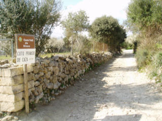
►The law of the Route Artà- Lluc (GR 222) → The law is an important tool for the GR 222 because it guarantees the right of way across private lands. At the beginning of 2018 it hadn't yet been aproved. Its most important points are: * Page 9: The GR 222 will have a length of 101'549 km (+ 25,192 km of alternative sections) * Page 11: Possible expropiations * Page 23: Next steps to be taken. * Page 26: Stages (34 km of the course will use paved roads) → Only in catalan available: http://www.conselldemallorca.net/?id_section=1841.
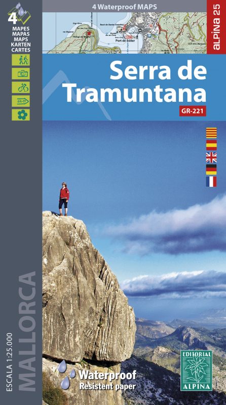
→ The best maps for the long-distance trail GR 222 are from Alpina
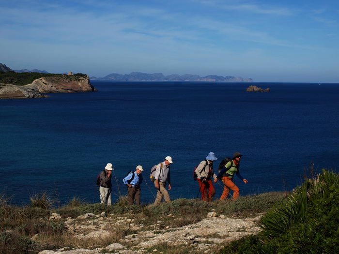
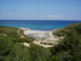
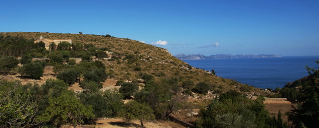
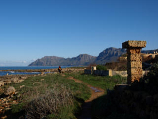
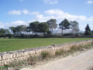
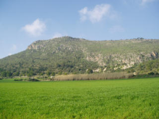
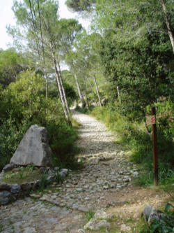
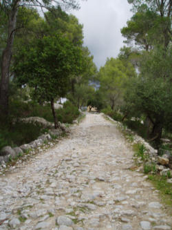
Pictures of the main course Stage 1
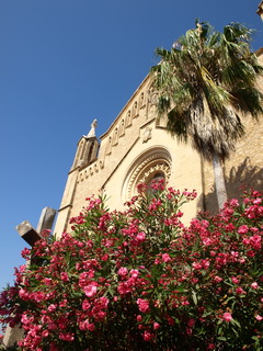
- Artà-
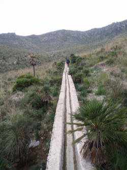
-Sa Duaia from Coll des Racó..........................Water channel Font Sobirana-
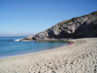
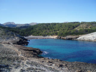
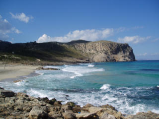
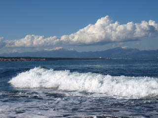
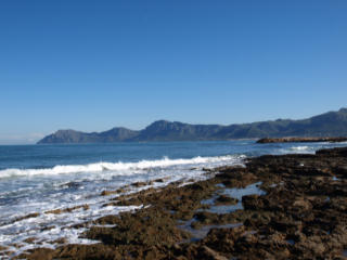
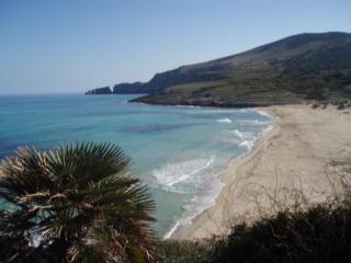
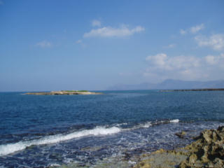
- Cala Torta.....................................................................................Cala es Matzocs-
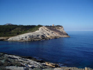
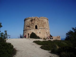
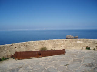
Watchtower Torre d'Albarca
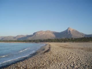
Platja de Fontsalada.....................................S'Arenalet des Verger
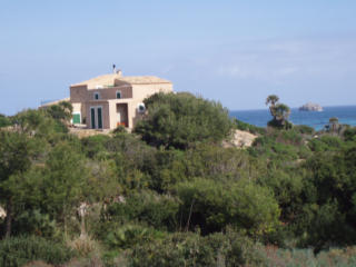
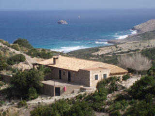
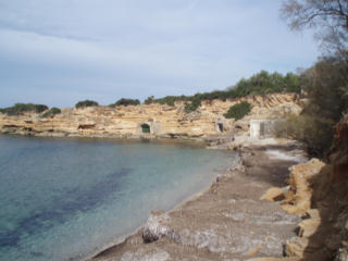
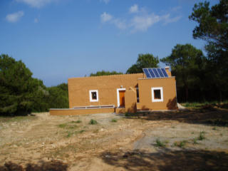
-IBANAT cabin S'Arenalet des Verger...............IBANAT cabin 'Caseta des Oguers', 15 min away from S'Arenalet-
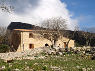
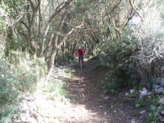
Stage 2 -.....Camí d'en Mondoi......................S'Alqueria Vella d'Avall, information center of the nature park Llevant-
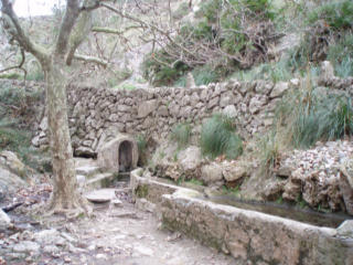
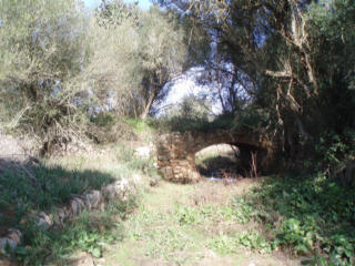
-Footpath from Ermita to the coast..................................Source Font de s'Ermita-
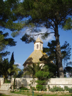
-Ermita de Betlem and the bay of Alcúdia-
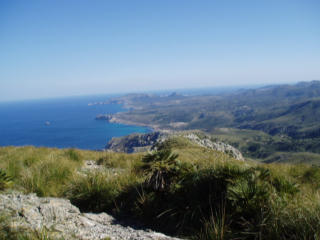
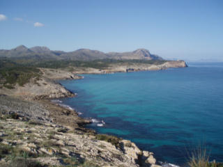
- Talaia Freda de Morei from Ermita de Betlem.............................. Footpath along the coast-
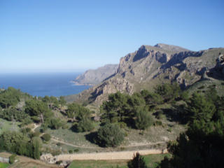
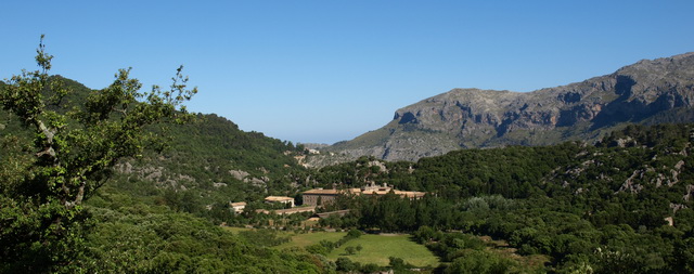
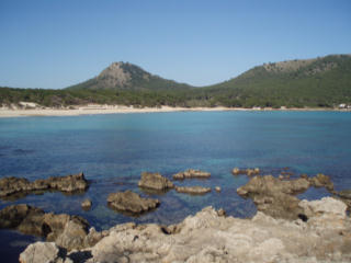
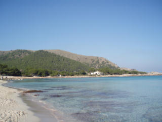
Stage 3
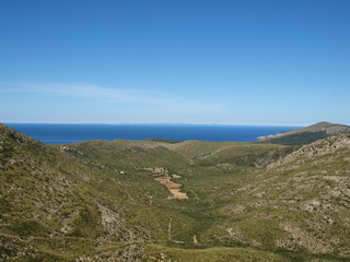
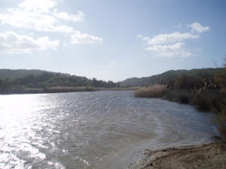
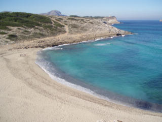
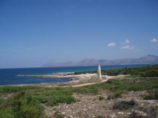
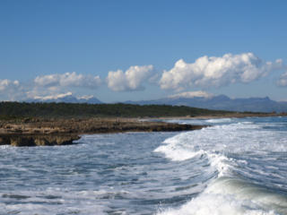
-Caloscamps........................Colònia de Sant Pere.........Puig de Massanella and Tomir from Platja de sa Canova-
-Platja de sa Canova/Estany des Bisbe in Torrent de na Borges (Son Serra de Marina)..........Camí de la Mar-
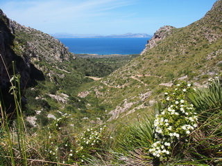
-Cap de Ferrutx from Son Serra de Marina.................................................Son Serra- Old footpath Ariant- Son Serra near sa Cabaneta-
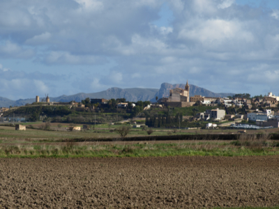
-Santa Margalida with Bec de Ferrutx-
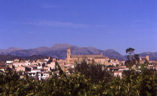
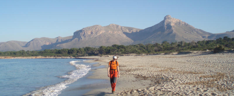
Stage 4 -The old footpath to Sineu, near Santa Margalida.................................. Llubí and Puig de Massanella-
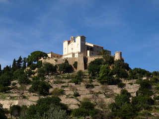
-Ermita del Sant Crist del Remei, near Llubí...............................Puig de Santa Magdalena-
Stage 5
- The old footpath to Lluc: Costa Llarga and sa Llengonissa-
- Santuari de Lluc-
Pictures of alt. section C (Cala Rajada- Cala Torta)
-Cala Agulla and Coll de Marina..................................................Talaia de Son Jaumell-
-Menorca from Cala Rajada...................................................Cala Mesquida-
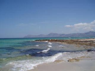
Cala Mesquida............................Between Cala Mesquida and Cala Torta................................Cala Torta-
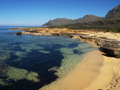
Pictures of alt. section D (Can Picafort- Son Serra de Marina)
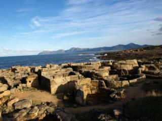
-Torrent de Son Bauló (Can Picafort)......................................Old cemetery Necròpoli de Son Real-
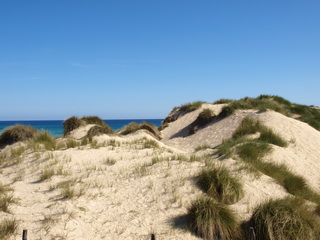
- Beach of Son Real-
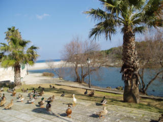
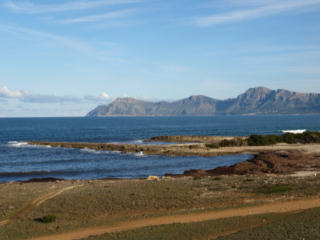
- Illa des Porros.................IBANAT cabin in Son Real............Serra de Tramuntana from Son Serra de Marina-
|
|